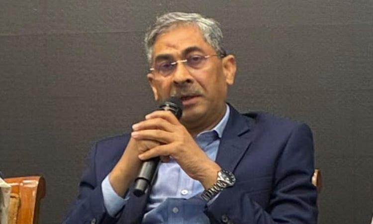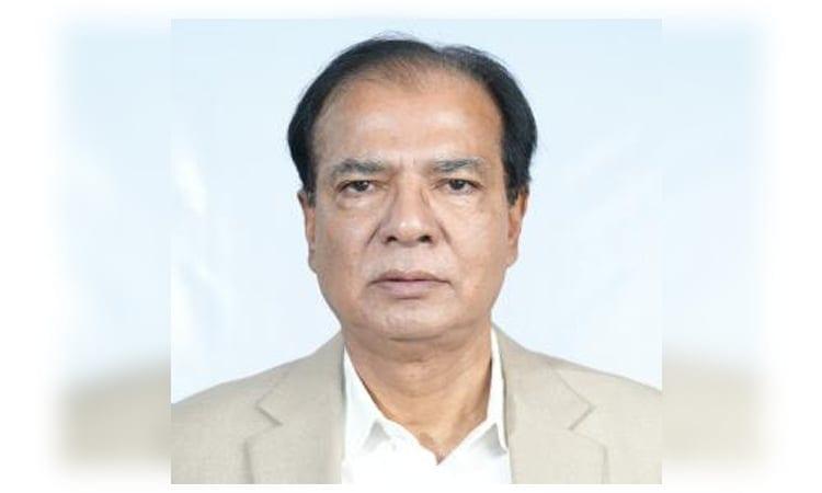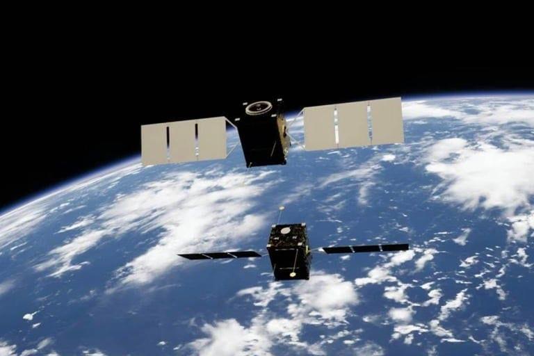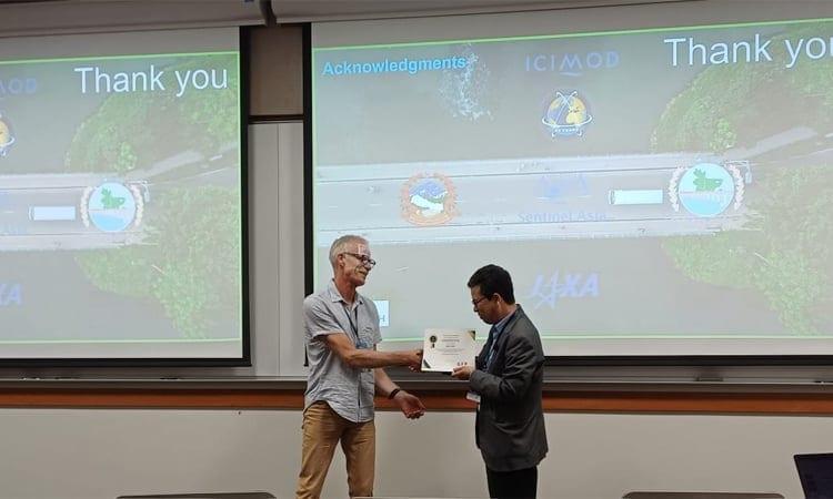
Kabir Uddin, a renowned geospatial expert from Bangladesh, received the Data User/Provider Award during the 2026 Global Flood Partnership (GFP) Annual Conference at Brigham Young University. The award recognizes Uddin's significant work in bridging advanced technology with practical applications for local communities. Uddin, currently a Research Fellow at the United Nations University - Institute for Water, Environment and Health (UNU-INWEH), presented his research on flood mapping, highlighting the use of Earth Observation imagery and GIS platforms to assess flood risks and determine suitable shelter locations.
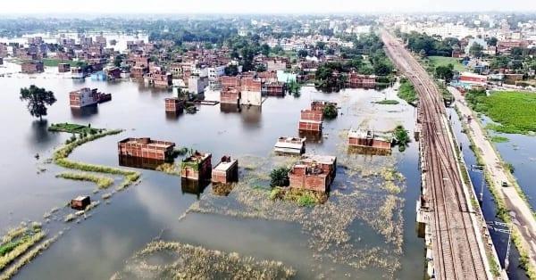
Before joining UNU-INWEH, Uddin spent over two decades at the International Centre for Integrated Mountain Development (ICIMOD). His work in satellite flood inundation mapping has been critical in responding to major regional disasters, including the 2008 Kosi flood, the 2010 Pakistan flood, and the 2016 Bihar flood, among others. His efforts continue to support government agencies like Nepal's Department of Hydrology and Meteorology and the Bangladesh Water Development Board in integrating satellite data into disaster response strategies.
At the GFP conference, themed 'From Research to Operations: Advancing Global Flood Forecasting and Operational Hydrology,' Uddin delivered a keynote presentation titled 'Beyond Rapid Flood Mapping from Local to National Scale Using Actionable Geospatial Data for Risk Assessment and Flood Shelter Suitability.' His presentation showcased how satellite imagery and geographic information systems can be used to evaluate flood risks and identify appropriate shelter locations, aiding in effective disaster management.
The conference brought together 78 professionals, hydrologists, and geospatial scientists from around the world. Uddin's recognition by the GFP Steering Committee underscores his impact on disaster management and his commitment to using technology to benefit local communities. His work not only highlights the importance of geospatial data in mitigating flood risks but also emphasizes Bangladesh's role in global disaster response efforts.
Uddin's contributions have significantly enhanced the ability of governments and organizations to respond to natural disasters, ultimately saving lives and reducing the impact of floods. His pioneering work in satellite flood inundation mapping has set a new standard for disaster management, making Bangladesh a key player in global flood forecasting and operational hydrology.