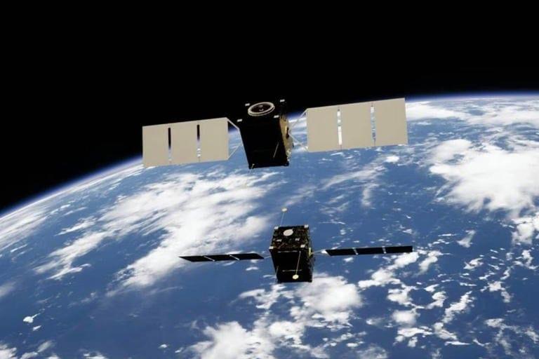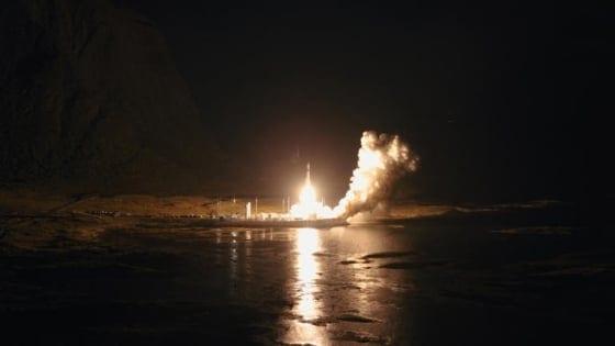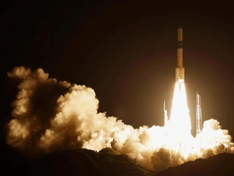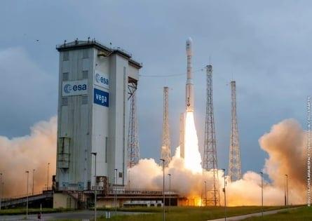
The European Space Agency (ESA) has successfully put into orbit two new Earth observation satellites, Sentinel-3C and Flex, designed to enhance the detection of extreme weather events linked to climate change. The satellites were launched by a Vega-C rocket from the Kourou space center in French Guiana and placed into a sun-synchronous orbit nearly two hours after liftoff.
The Flex (Fluorescence Explorer) satellite will provide crucial data on the impact of heatwaves on plant matter by monitoring fluorescence, the red light emitted by plants during photosynthesis. This data aims to establish and quantify the link between plant stress and fluorescence, offering insights into the effects of climate change on vegetation.
The Sentinel-3C satellite, part of the European Union's Copernicus Earth observation program, will measure various aspects of the marine environment, including temperature, wave height, and ocean currents. It will also monitor land use and land cover to optimize agricultural yields and help prevent food crises. Simonetta Cheli, Director of Earth Observation Programmes at ESA, emphasized the essential role of such missions in addressing the ongoing climate change challenges.
FAQs
Q: What is the primary objective of the Flex satellite? A: The primary objective of the Flex satellite is to monitor fluorescence in plants, providing data on the impact of heatwaves and establishing a link between plant stress and fluorescence.
Q: What will the Sentinel-3C satellite measure? A: The Sentinel-3C satellite will measure various aspects of the marine environment, including temperature, wave height, and ocean currents, as well as land use and land cover to optimize agricultural yields.
Q: Why are these satellites important for climate change monitoring? A: These satellites are important because they provide essential data on extreme weather events and their impact on both marine and terrestrial environments, helping to address the challenges posed by climate change.
Q: How will the data from these satellites be used? A: The data from these satellites will be used to enhance our understanding of climate change, improve weather forecasting, optimize agricultural practices, and help prevent food crises by providing timely and accurate environmental information.