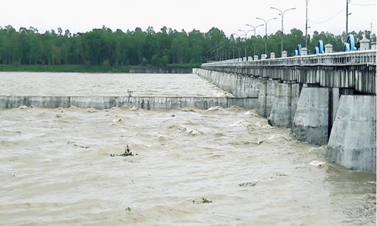
Short-term flooding is expected in some low-lying areas of Nilphamari, Lalmonirhat, and Rangpur districts within the next 24 to 48 hours due to the probability of heavy rainfall in the Brahmaputra basin. Officials from the Bangladesh Water Development Board (BWDB) have noted that water levels of the Teesta, Dharla, and Dudhkumar rivers in the Rangpur division have fluctuated over the past 24 hours. The water level of the Teesta River may rise above the danger level at certain locations in Nilphamari, Lalmonirhat, and Rangpur districts, leading to short-duration flooding in adjacent floodplains and low-lying areas.
River Water Levels Fluctuating
The water level of the Teesta River has shown both rises and falls at various points in the Brahmaputra basin over the past 24 hours. If heavy monsoon rains continue in the upstream and downstream parts of the river basin for the next two to three days, there is a possibility of short-term flooding along the Teesta, Dudhkumar, and Dharla rivers. However, there is no forecast of major flooding in the next few days, according to BWDB officials who are closely monitoring the situation.
Current Water Levels and Forecasts
At 3 pm today, the Teesta River was flowing below its danger level (DL) by 16 cm at Dalia in Nilphamari, 25 cm below DL at Kawnia in Rangpur, and 27 cm below DL at Tarapur and 99 cm below DL at Haripur points in Gaibandha. The Dharla River was flowing 167 cm below its DL at Kurigram point, and the Dudhkumar River was flowing 93 cm below at Pateshwari point in Kurigram. The Brahmaputra River was flowing below DL by 187 cm at Noonkhawa, 163 cm at Hatia, and 139 cm at Chilmari points respectively at 3 pm today.
Rainfall Forecast and Impact
The Flood Forecasting and Warning Center (FFWC) of BWDB has forecasted heavy to very heavy rainfall over five divisions of Bangladesh and heavy rainfall over the adjoining upstream regions of Tripura, Meghalaya, and West Bengal in India during the next 24 to 48 hours. The well-marked low-pressure area over northwestern Madhya Pradesh and adjoining areas in India has weakened into a low-pressure area and is currently located over central Uttar Pradesh and adjoining areas. It may weaken further. The recorded rainfalls in the upstream Indian states during the last 24 hours till 9 am today were 177 mm at Mawsynram, 143 mm at Coochbehar, 135 mm at Mawkyrwat, 120 mm at RKM Sohra, and 109 mm at Cherrapunji points.
Significance and Implications
This short-term flooding poses immediate risks to low-lying areas and floodplains in the affected districts. Residents in these areas should stay alert and take necessary precautions. The BWDB is actively monitoring the situation to provide timely updates and ensure the safety of the population. The fluctuation in river water levels and the forecast of continued heavy rainfall underscore the importance of preparedness and vigilance in the face of potential flooding.